Natural And Cultural Heritage Of Loški Potok
Loški Potok lies in the south of Slovenia, right next to the state border with Croatia. It is located in the far west of Dolenjska region, where it meets the neighbouring Notranjska region. The settlements of the municipality of Loški Potok are scattered at altitudes between 470 m and 800 m that contribute to the harsh climate. The winters here are cold and long, with frequent late-spring frosts and temperature inversions in the valleys and basins. Adverse weather and geological conditions and the associated soil properties, unfavourable for the development of agriculture and fruit farming, provide excellent conditions for woodland vegetation. As much as 75% of the area is covered by forests, which have historically played an important role in the daily lives of the locals for whom the forestry work, both home and abroad, represented the main source of livelihood. Apart from wood, people have come to appreciate other benefits that forests have to offer, attracting more and more visitors here every year. They return to Loški Potok with gratitude as they get to revisit the beautiful nature and the vast forests that welcome the visitors with a different appeal in each season. In the spring, the woodlands inspire with the awakening of the plants, in the summer the travellers can rest in their cool shade, in the autumn they fill the baskets with edible fruits, and in the winter they are covered by a blanket of snow, as if to remind us that it is time for slumber.
The Retje Uvala
While exploring the sights of Loški Potok, you will be amazed by the mysterious phenomena of the Dinaric karst that have been carved by mother nature over the years. Here you can see the typical sinkholes, the karst “polje” (field) with a subterranean river and some smaller karst caves. You can take a stroll on one of the most famous karst uvalas in Slovenia – the Retje uvala, named after the surrounding village of Retje. During heavy rains, the village of Retje temporarily transforms into a peninsula, as the bottom of the uvala is filled with water flowing in from numerous springs along the edge of the basin after it is collected from the surrounding hills. For many years, this temporary lake formed by flood waters has been a source of inspiration for many children and young boating, rafting or stand-up paddleboarding enthusiasts. However, these water activities can only be pursued for a day or two, since the water quickly disappears into the underground, flowing towards the Loka Valley and then meeting the Ljubljanica River. At the edge of this sprawling karst valley, the scenic landscape of the protected Retje uvala area is backdropped by the church of St. Florian.
The Travnik Polje
If you have the opportunity to visit the southern part of the municipality with the village of Travnik, you can explore the foothills of the Travnik Polje. Boasting two underground rivers, it is a true example of a karst field. This is the place where the two local streams – the Mežnar Stream and the Loke Stream, called “Malenščica” by the locals – begin their journey and seep into the ground. At their own pace, the two streams meander through the Travnik Polje, which is often flooded after heavy rainfall. The surface water runs off to the Ribnica Valley. Along the Malenščica Stream, there used to be three watermills called “malen” by the locals, which explains how the stream earned its name.
The Tabor Hill
The Tabor (“camp”) hill is the central hill at the heart of the municipality and a great vantage point overlooking the region. The name of this solitary hill originates from the time of Turkish incursions, when the local inhabitants used it as a shelter against the Turks. From the top of the hill, you can enjoy the view over the surrounding area or you can take a peek into the parish church of St. Lenart or the Church of St. Barbara at the cemetary.
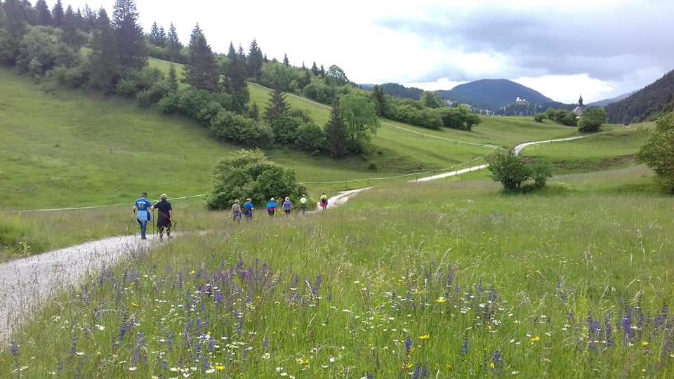
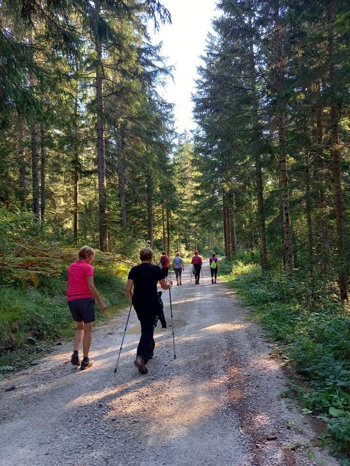
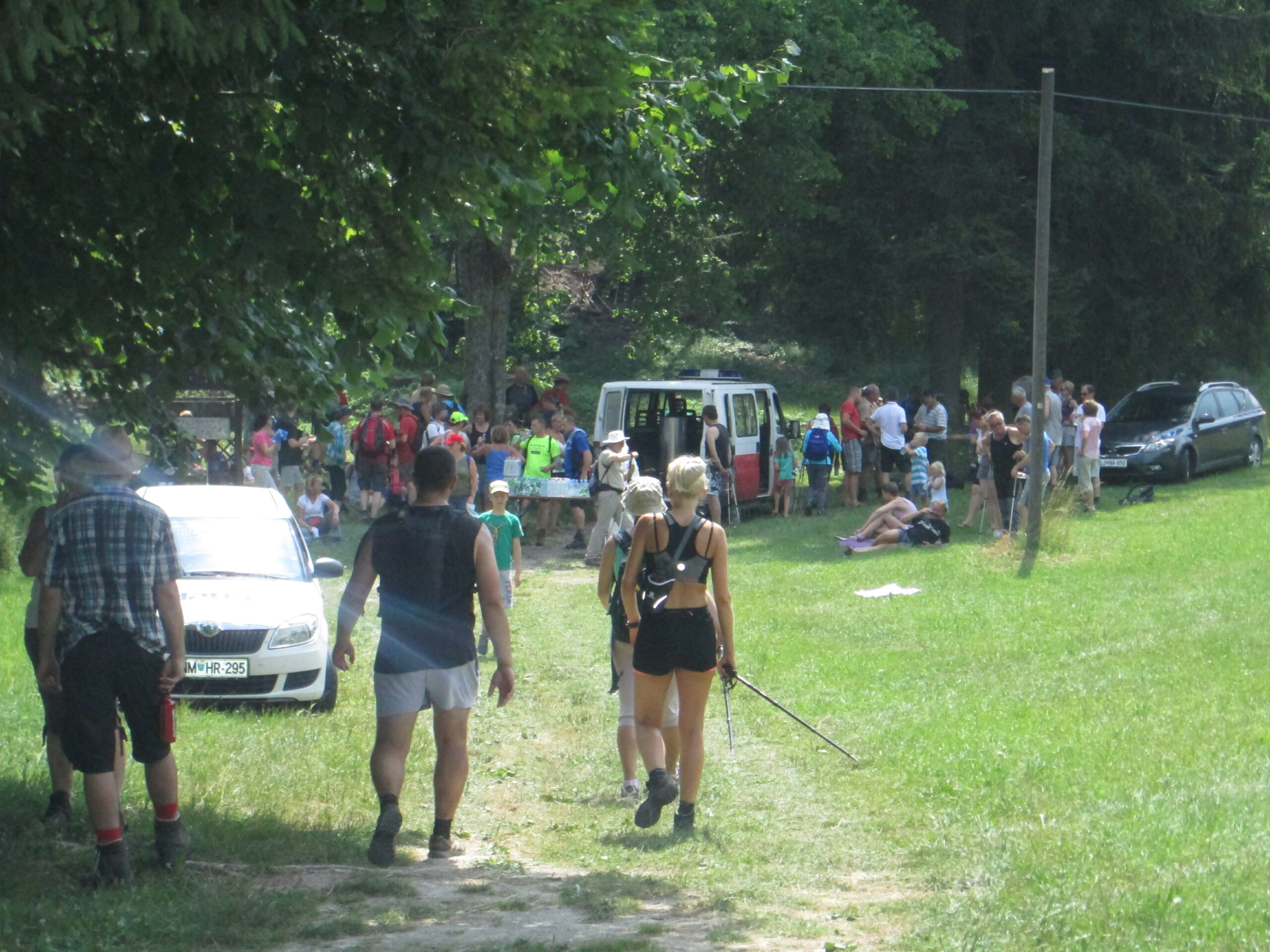
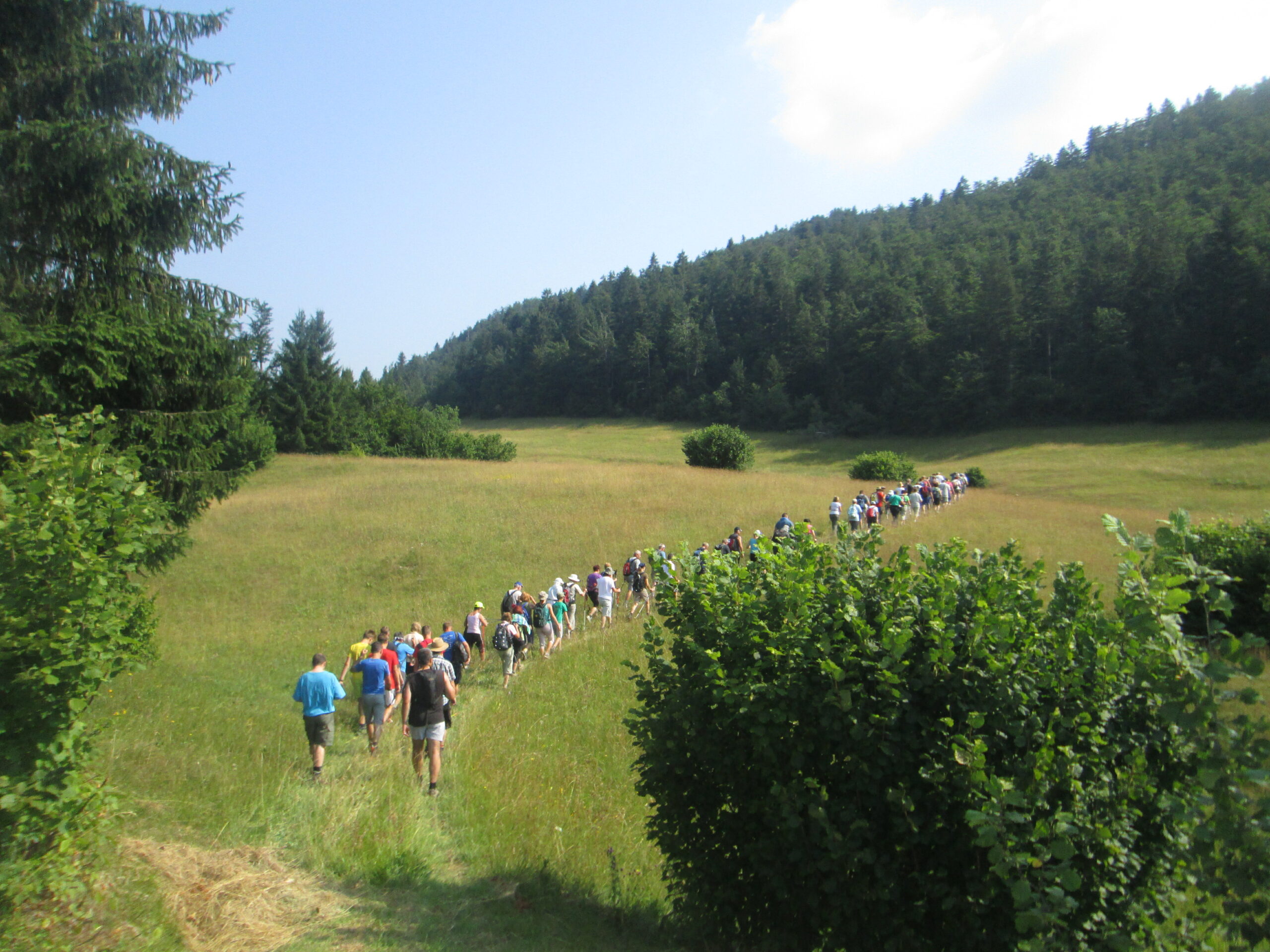
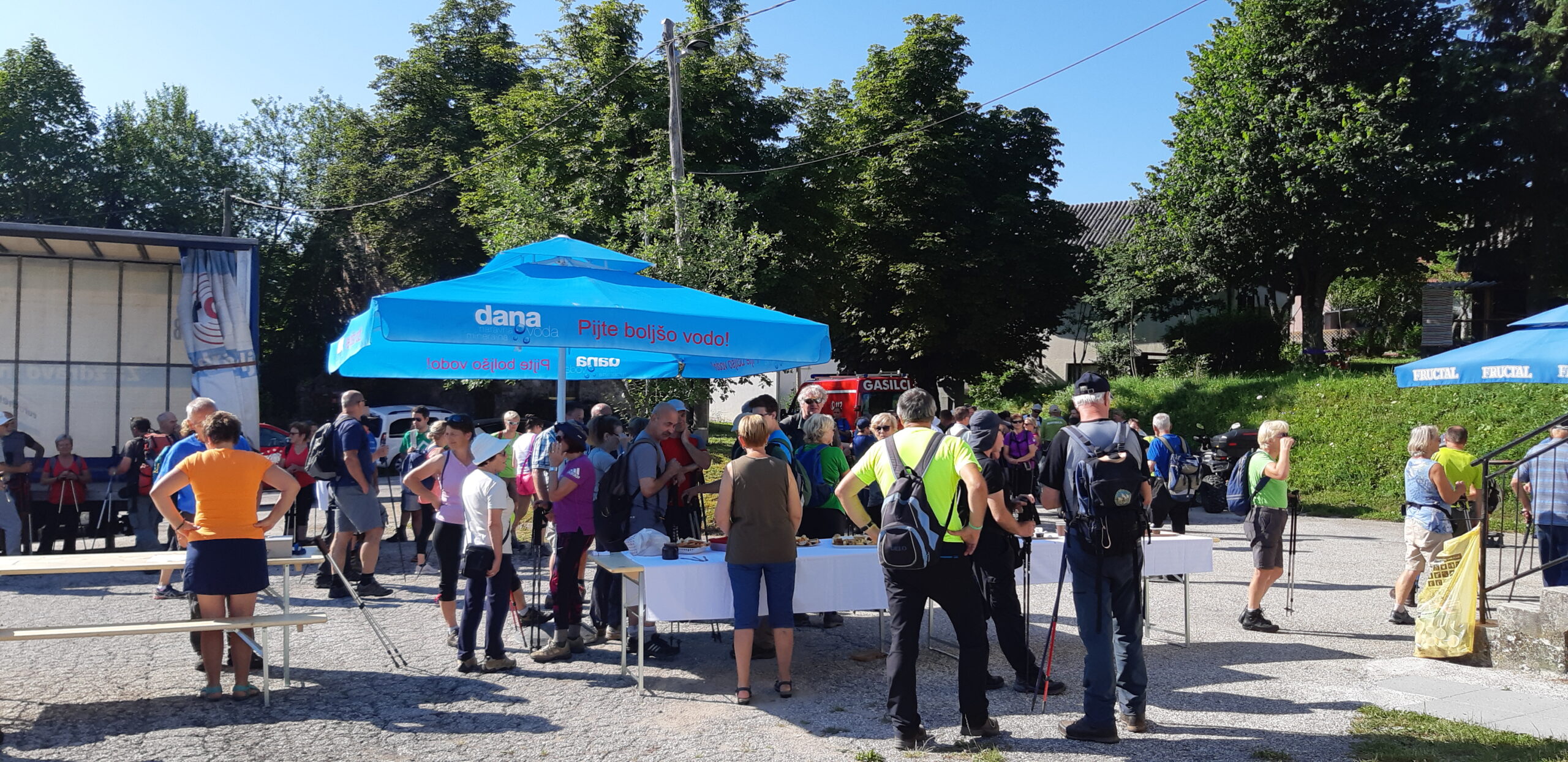
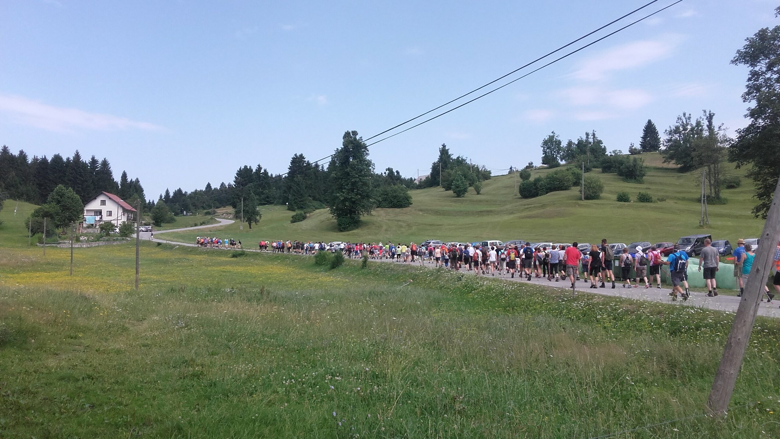
Hiking
In Loški Potok, lovers of hiking and nature walks will find many opportunities to make the most of their trip. The surrounding area offers countless options for both short walks and long hikes. You can plan a circular route or choose a destination trail that takes you to the top of a hill. No matter where you go, the path will always lead you through the woods where you can enjoy some fresh air, taking in the scent of conifers and vast meadows, offering beautiful views on the surrounding landscape. You can go on a solo walk or participate in traditional group hikes organized by the hiking clubs of Loški Potok and Draga.
The Kamni Grič Hill
The mountain hut on the Kamni Grič or Kamengrič Hill is a popular destination for both locals and tourists. Situated on a panoramic hillside rising south-west of Sodražica, at an altitude of 1017 m, the Kamni Grič mountain hut can easily be accessed off the main Sodražica–Hrib–Loški Potok road or by taking one of the many marked mountain trails that span in various directions from Sodražica, Nova Štifta, Travna Gora and Loški Potok. It can be accessed either by foot or on a bike. During the season, the hut is open on weekends and holidays. In clear weather, the visitors are able to enjoy a breathtaking view on the surrounding mountains, including the mountain ranges of the Julian and Kamnik-Savinja Alps. Experienced observers can also catch a glimpse of Mount Triglav from here.
Jazbina
Offering a beautiful panoramic view, this is a slightly less known hiking destination, located in the western part of the municipality, on the Velike Jazbine mountain ridge. This trail is a bit more challenging, as it steeply ascends through the rocky terrain on some spots. The “Šegova pot” hiking trail begins in the hamlet of Matevljek and continues on dirt roads and marked forest roads, before it passes the “Špelca” hunting lodge and wends its way underneath the steep rocky cliffs to the Votla Stena cave. The Votla Stena cave is a karst cave carved into the Velike Jazbine mountain wall, which, according to some written sources, was a part of the great Roman defence wall – Claustra Alpium Iuliarum – built by the Romans to serve as a defence system with a series of fortifications, barrier walls, towers, strongholds and castles. It was designed to protect the Roman Empire against invaders from the East. From the Votla Stena cave you can continue your hike along a marked path leading to the Velike Jazbine peak, rising at an altitude of 1201 m. From there, you can continue towards Petelinjek, via the Pogorišče, Mašun, Jelenji Vrh hills and Retje uvala, until you complete your loop on the Hrib Hill, or you can make your way back along the same trail, past the Velike Jazbine peak to the starting point in Matevljek. We recommend using appropriate hiking gear.


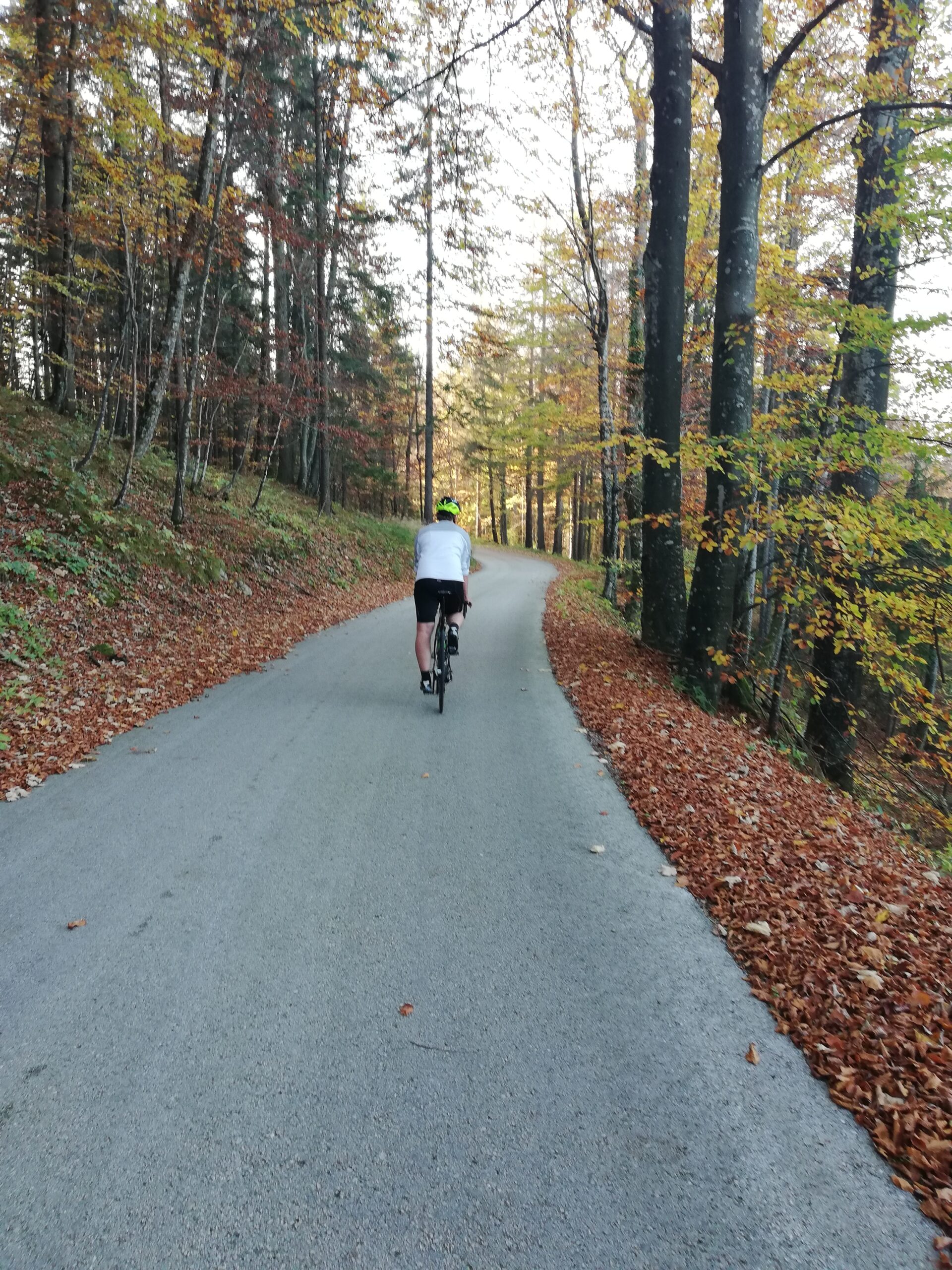
Cycling
With their remoteness and uncrowded roads, the natural surroundings of Loški Potok attract many cycling enthusiasts. Our picturesque landscape is perfect for both road cycling (with road bikes) or biking on mountain or trekking bikes. However, we recommend a good fitness level because Loški Potok is located in a hilly area and most roads include many ascents and descents. Follow the links below to see some suggestions with route descriptions and altitude profiles: